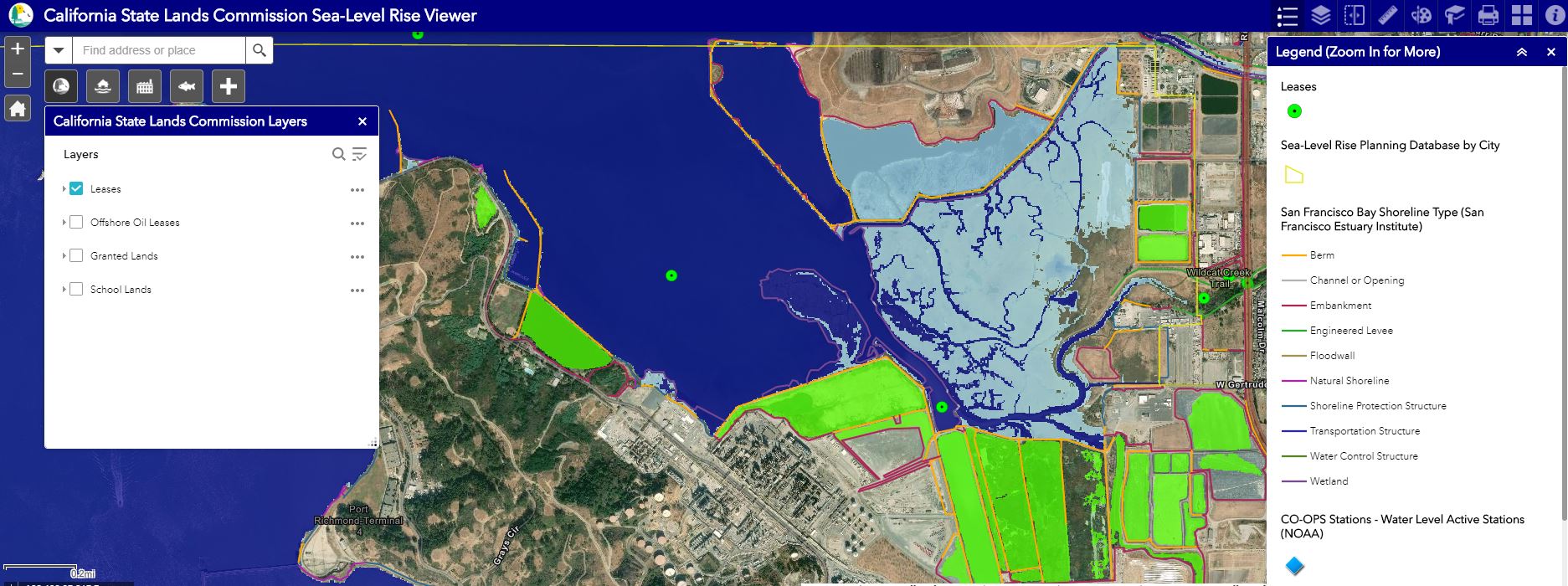
The Commission has released its own Sea Level Rise Viewer, an interactive web mapping application to assist users with understanding the risks and impacts to Public Trust lands and resources. The viewer contains data about the Commission’s leases, coastal county and city sea level rise planning documents, potential future sea levels, sensitive habitats, the locations of critical infrastructure, and more.